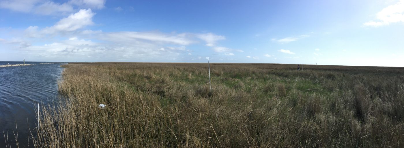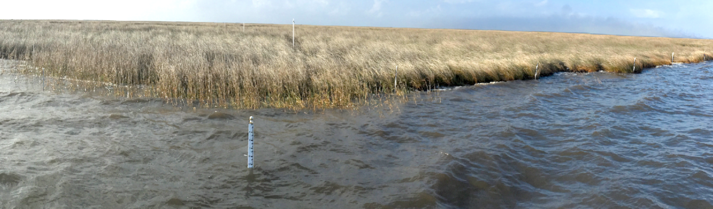
The Biloxi marshes are located southeast of New Orleans and consists of saline and brackish marshes that act as a storm barrier for the New Orleans-Slidell land bridge. In the absence of the Biloxi marshes, the land bridge and areas west, such as Lakes Pontchartrain and Maurepas, would transition from freshwater or intermediate to brackish or saline. Comite Resources is measuring shoreline edge erosion, wetland surface accretion, along with carrying out a water sampling program and instrumentation deployment. In addition, historical SET’s are being monitored at the interior of the wetland complex (see Sets at Biloxi Marshes).
These data will be combined with other historical data to persuade CPRA to include the Biloxi wetlands in the Coastal Master Plan, which currently has minimal resources devoted to the region. Comite Resources is proud to offer its services in this endeavor and is working closely with the Biloxi Land Corporation to assist in its goal of documenting the importance and relative sustainability of the Biloxi marsh complex.