Surface Elevation and Accretion Data Gathering at Historical Plots in the Biloxi Marshes
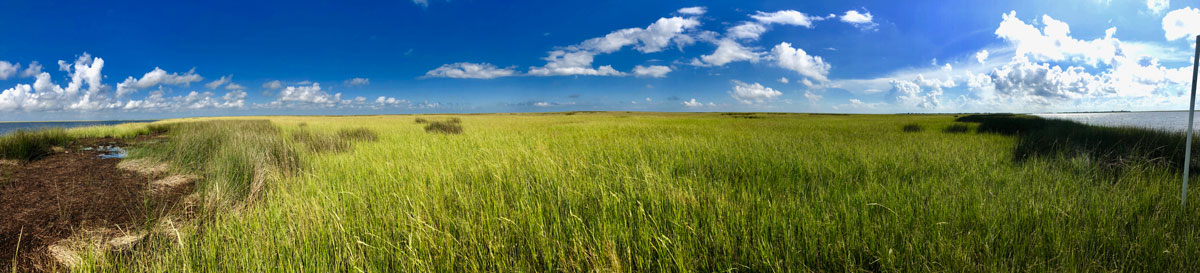
In 2003, University of New Orleans researchers established 30 surface elevation table (SET) sites with accretion markers at the Biloxi marshes. As part of the effort to include the Biloxi wetlands in the Coastal Master Plan (see Biloxi Marshes), these sites are being re-visited to measure surface elevation and accretion. Comite Resources was charged with finding these historical sites to collect new data. Drs. Day and Lane of Comite Resources have extensive experience installing and measuring SETs and accretion (Day et al. 1998, 1999; Lane et al. 2006). Contact us for help installing new SET plots or for measuring historical sites if available.

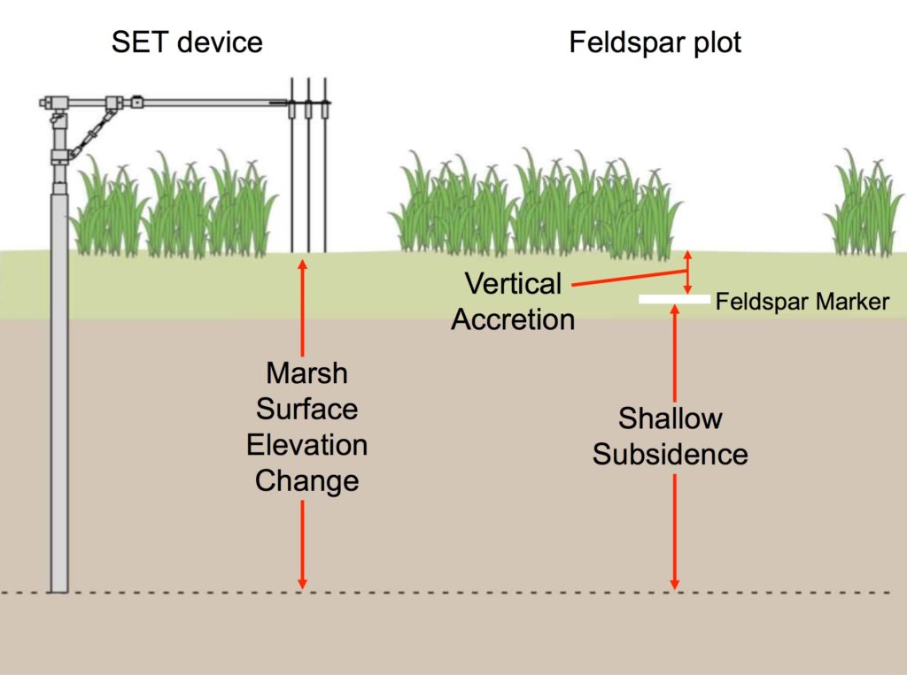
What is a surface elevation table (SET)?
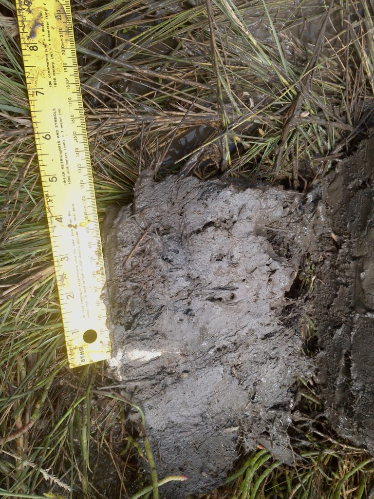
Each SET consists of a base support pipe driven 4-6 m into the marsh that is fitted with a second portable section. The portable part of the SET is a precisely machined device that can be leveled to the exact same position during every measurement, providing a constant reference plane from which to measure the distance to the sediment surface.
What does this tell us?
Using the SET device in conjunction with feldspar markers provides information regarding changes in wetland surface elevation and accretion. The difference between these two measurements is shallow subsidence, which accounts for a majority of subsidence in coastal Louisiana compared to deep subsidence. Subsidence is one of the fundamental factors controlling the overall health and sustainability of a given wetland.