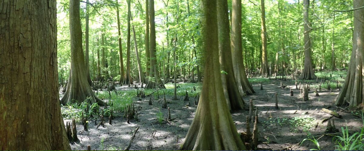
Understanding the Benefits & Design of Constructed Wetlands
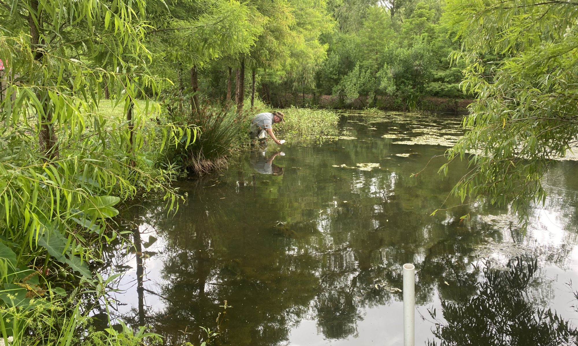
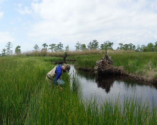
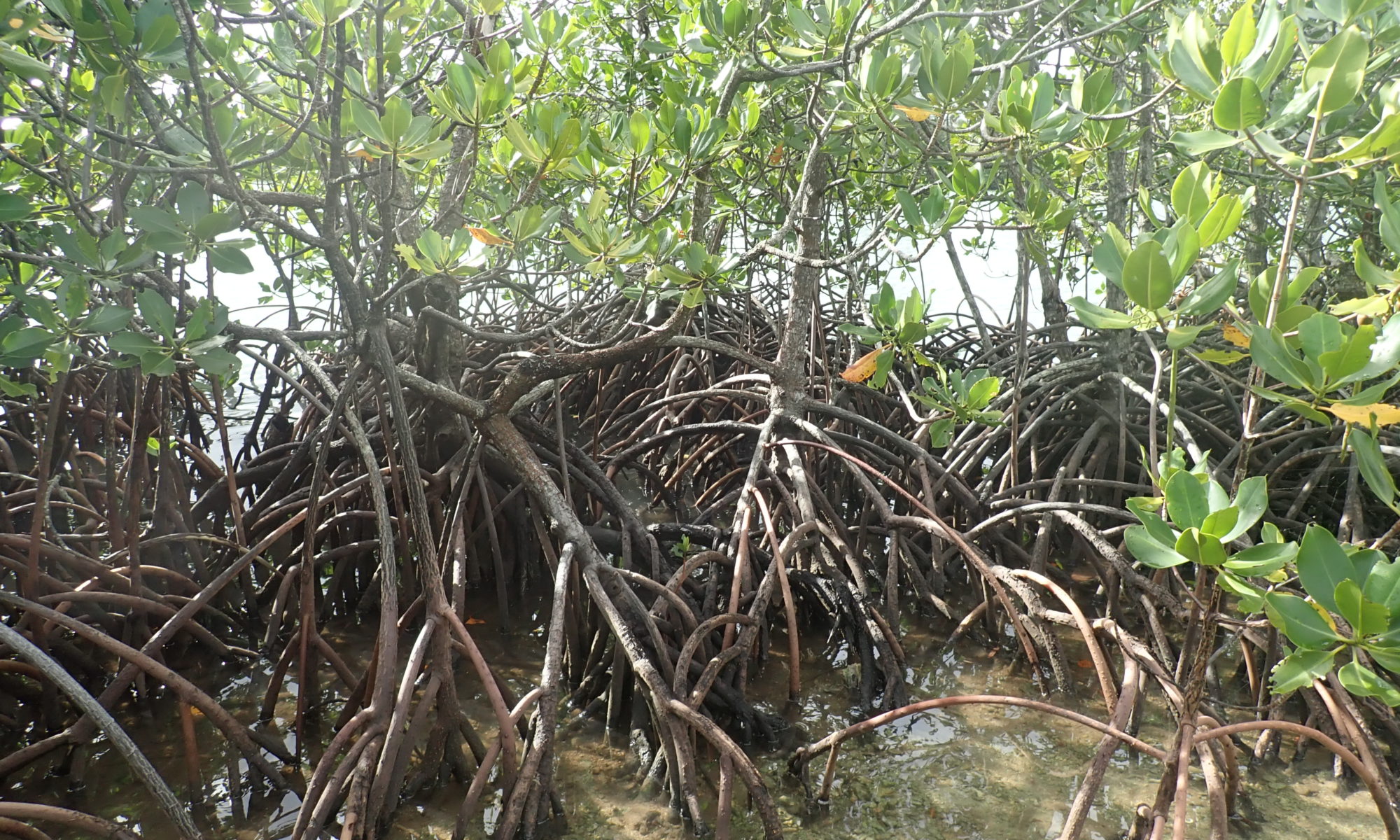
In a previous discussion titled “What is a wetland?“, we explore the multifaceted roles of natural wetlands. They are crucial for supporting diverse plant and animal species, controlling floods by absorbing surplus water, enhancing water quality through the removal of pollutants, and preserving biodiversity. Recognizing these benefits, constructed wetlands are specially engineered to treat various types of waste- and stormwater. They remove nutrients, sediments, heavy metals, and other contaminants, offering a sustainable and cost-effective alternative to traditional water treatment methods.
Constructed wetlands are a cost-effective alternative to conventional treatment facilities, with lower construction and maintenance costs and adaptability to fluctuating water levels. Additionally, the vegetation in these wetlands not only beautifies the landscape but also reduces unpleasant odors typically associated with wastewater treatment facilities.
Key Components of Constructed Wetlands
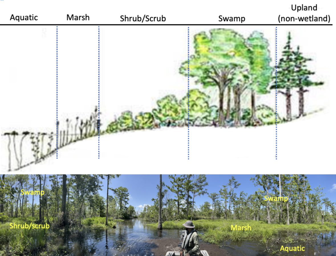
Core components of constructed wetlands are similar to their natural counterparts, comprising of soils or other growth-supporting media, a defined path for water to flow evenly through the system, and water tolerant wetland vegetation. However, the specific design can vary widely depending on the intended purpose of the wetland.
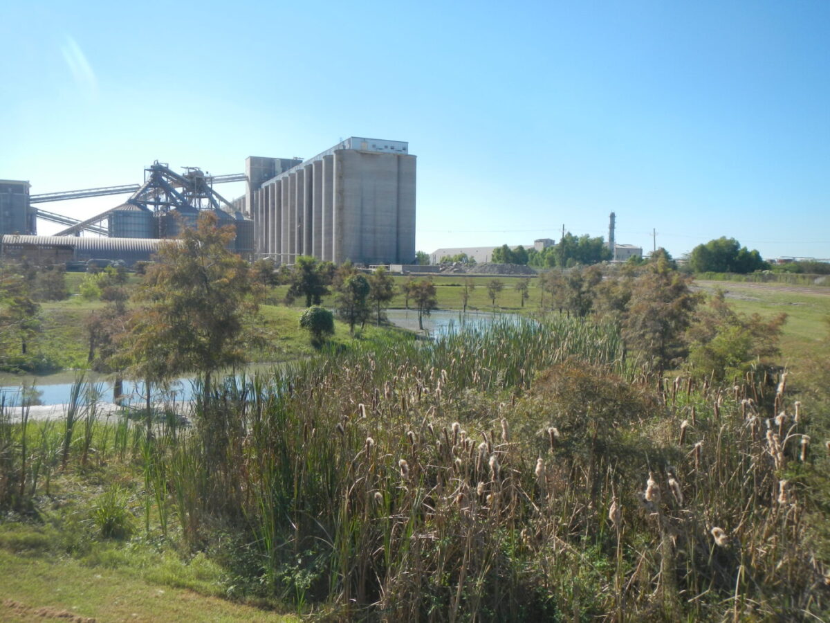
Point Source Pollution Treatment:
Constructed wetlands for municipal wastewater treatment have meticulously controlled water flow through the wetlands with predefined inlets and outlets. The area is lined with impermeable materials to prevent leakage, layered with growth media such as rock or graded gravel, and planted with specific species of wetland vegetation.
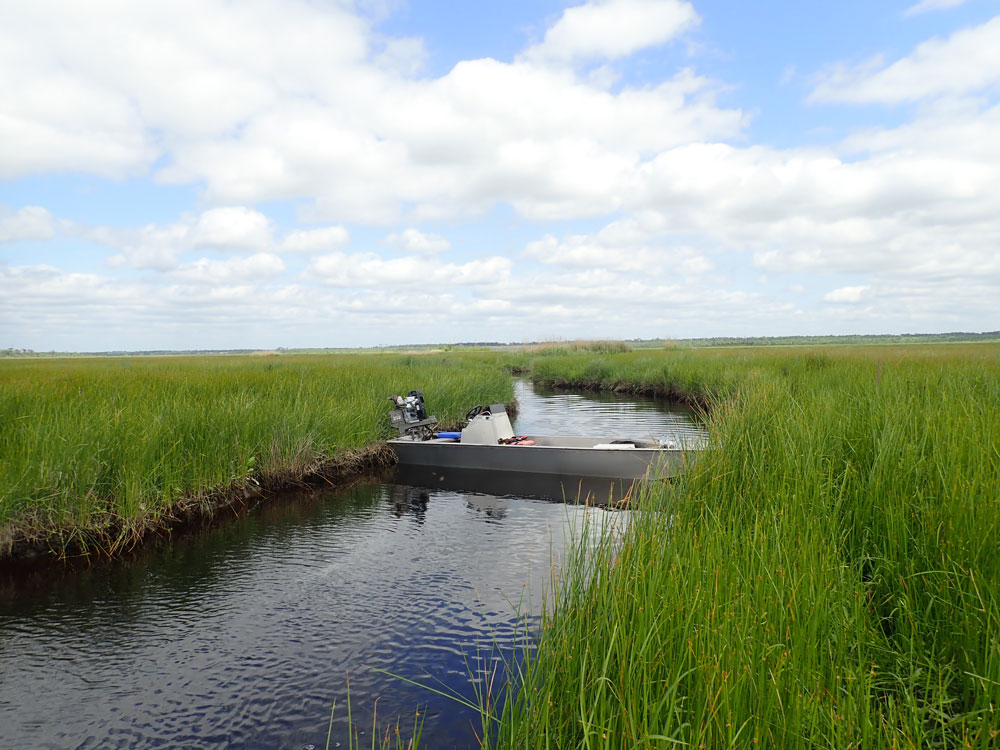
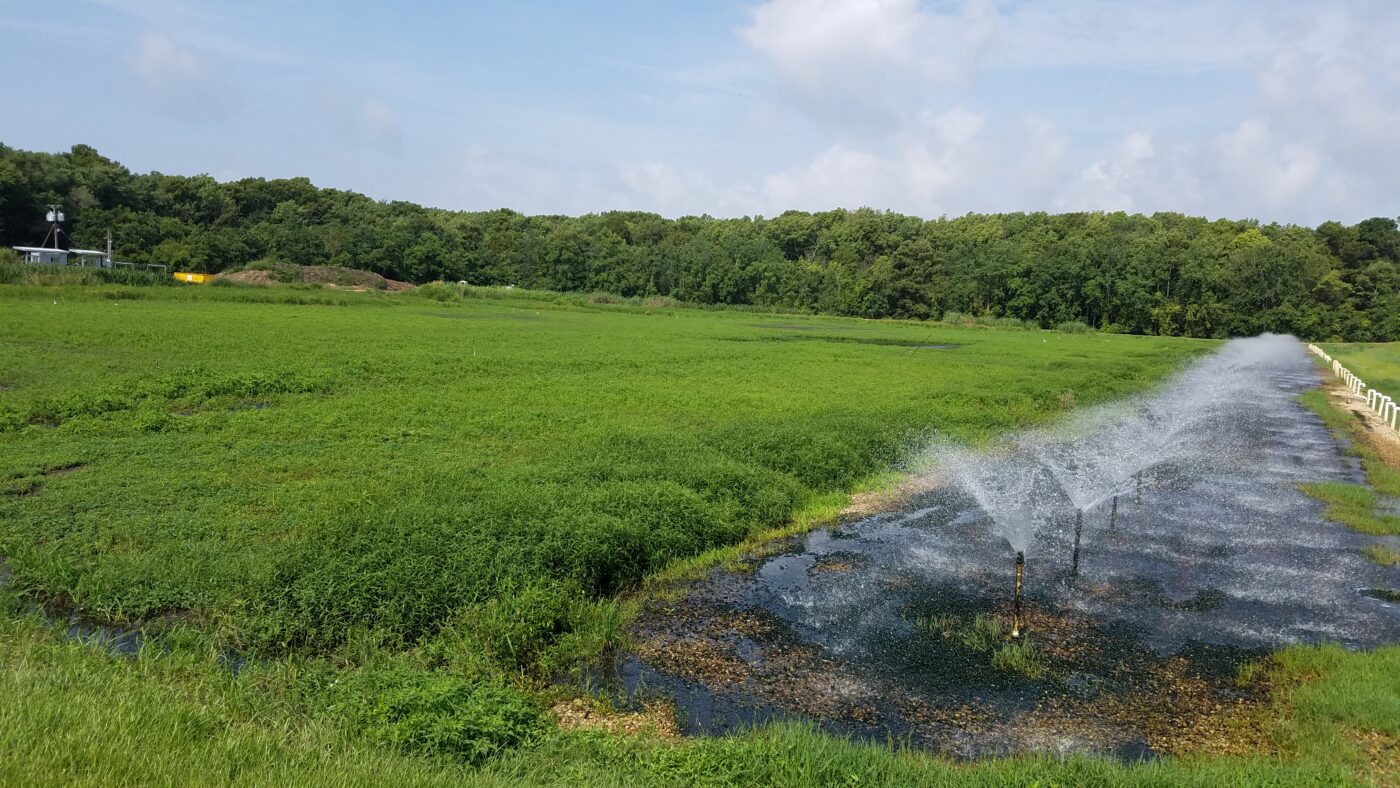
Non-Point Source Pollution Treatment:
Constructed wetlands for stormwater treatment typically utilize soils already present at the site, and allow vegetation to establish naturally once wet. This approach manages runoff and improves water quality more passively than constructed wetlands for municipal wastewater treatment.
Construction and Placement
Constructed wetlands are generally positioned on uplands to minimize disruption to natural wetlands and aquatic ecosystems. The construction process includes:
- Excavation of the area where the wetland will be established;
- Backfilling with suitable growth media and shaping it for proper water flow;
- Creation of dikes to contain water during high water levels;
- Installation of water control structures to manage water flow effectively.
Benefits of Constructed Wetlands
When designed and maintained properly, constructed wetlands not only significantly improve water quality but also create additional wildlife habitat, provide spaces for public recreation, and offer opportunities for water reuse. These engineered ecosystems represent a harmonious blend of functionality and sustainability, offering a natural solution to modern environmental challenges.
Cost-Effectiveness
Lower construction and maintenance costs compared to conventional treatment facilities.
Improved Water Quality
Effective removal of nutrients, sediments, heavy metals, and other contaminants.
Wildlife Habitat
Creation of new habitats, enhancing biodiversity.
Aesthetic and Recreational Value
Attractive spaces for public recreation and education.
Water Reuse
Treated water can be reused for various purposes, reducing the demand on freshwater resources.
Comite Resources has experience designing and maintaining constructed wetlands. Please contact us to discuss your project.